
Farm Surveying and Planning · 3 min read
Meaning of farm surveying
Listen to this lesson
A calm voice reads the lesson aloud
Tap any word for its meaning, or to have that part explained further.
Meaning of farm surveying
Before a farmer starts work on a new farm, the farmer needs to know the size and shape of the land. The farmer also needs to know where the land begins and ends.
Farm surveying is the process of measuring and mapping an area of land to determine its size, shape and boundaries.
Simply put, farm surveying means measuring farmland and showing important details about it on a map or plan. It helps the farmer know the land properly.
What a farm survey shows
Size tells us how much land the farm covers. For example, a maize farm in Kaduna may cover five hectares.
Shape tells us the form of the land. A farm may be roughly rectangular, triangular or irregular in shape.
Boundaries are the limits of the farm. They show where one farmer’s land ends and another person’s land begins.
Features are things found on the land, such as streams, roads, buildings and slopes. Their positions can be shown on the farm map.

A Nigerian farm example
Imagine that a farmer wants to grow cassava on land in Ogun State. A surveyor measures the land, locates its boundaries and records the positions of a stream and an existing road.
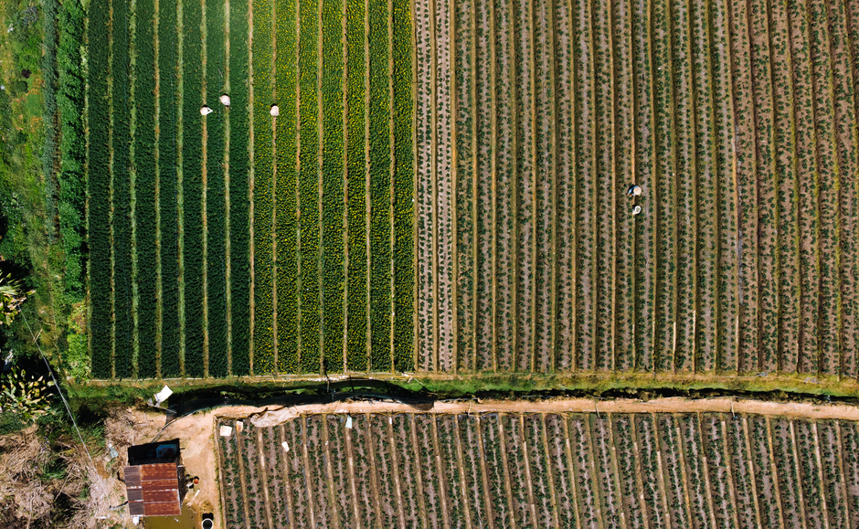
The measurements are used to draw a farm plan. This is a drawing that shows the farm from above, using a scale to represent real distances.
Surveying and planning
Farm surveying provides information about the land. Farm planning uses this information to decide where crops, animal houses, roads and other farm facilities should be placed.
Tools used in farm surveying
A measuring tape measures distances. • Ranging poles help to mark points and line up straight survey lines. • A compass helps to determine directions.
Remember this
Farm surveying is not just walking around a farm or clearing bushes. It involves measuring the land and recording details that help us draw a map or plan.
Key points
- •Farm surveying involves measuring and mapping farmland.
- •A farm survey determines the size, shape and boundaries of the land.
- •A farm survey can show features such as streams, roads and buildings.
- •Farm surveying provides information needed for farm planning.